AT ONE GLANCE

Data Owner
Information provided by:
DKSR GmbH
Price model:
- Subscription
Minimum query interval:
- Under 1 minute
Glossary | Learn More


Data
TomTom Traffic Flow
The API makes Floating Car Data (FCD) available and provides information about the current traffic situation. On road segment level, the current average speed, a current traffic status or the travel duration can be queried. In addition, TomTom provides results from AI models to forecast traffic patterns. The data is suitable for online applications or for traffic analyses.
How to create sustainable added value for your city with this data
Particularly when traffic is gridlocked or congested, major environmental impacts occur. FCD can contribute to intelligent traffic management. For example, the information can be used to warn drivers of traffic congestion at an early stage and suggest an alternative route. If the data is also networked with the municipal traffic signal systems, traffic can also be controlled in real time, in line with the current situation. In addition, the data can be used to evaluate measures aimed at reducing motorized individual traffic, thus contributing to evidence-based urban planning.

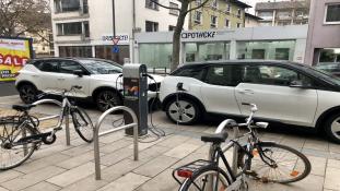

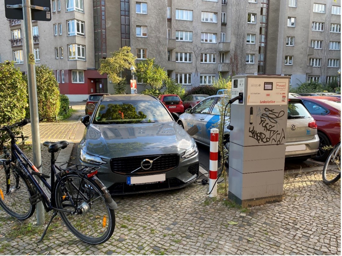
Intelligent parking space management at charging stations
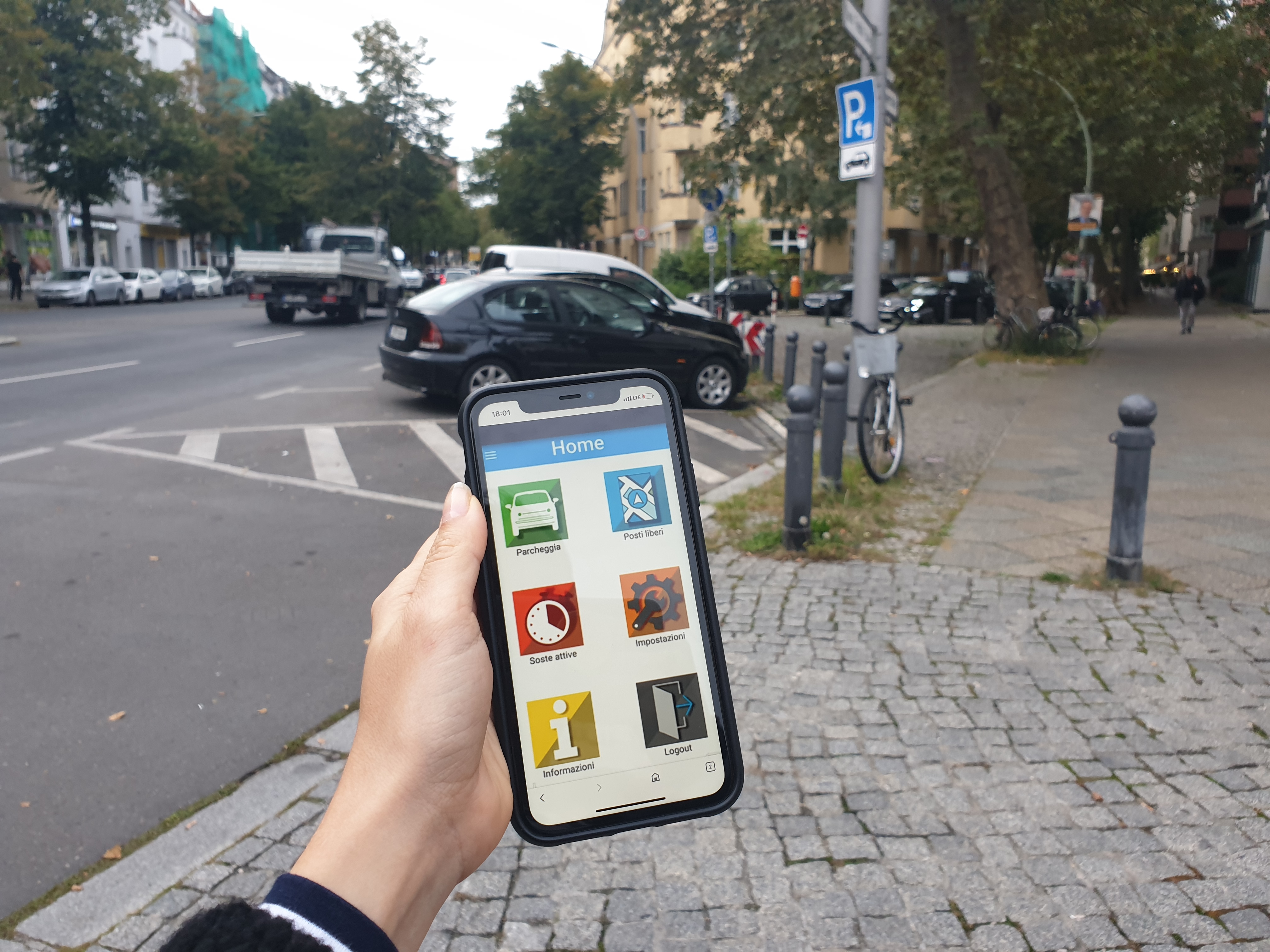
MOBILE APPLICATIONS (APPS) FOR SMART PARKING

Off-Street Smart Parking
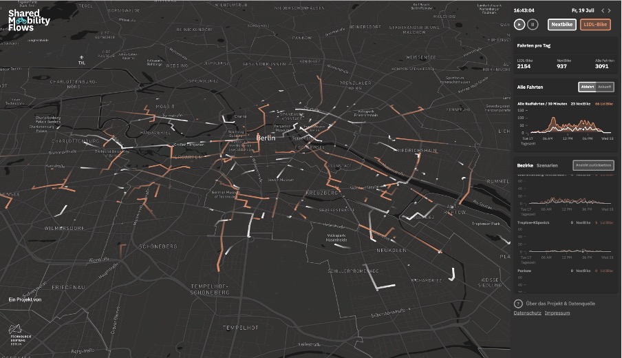
Geofencing for micromobility
This information has been provided by DKSR. If you have an interest in the data provided, please feel free to contact us: