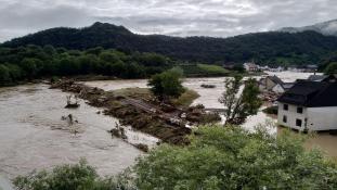
The Solution
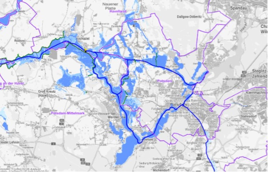
Flood Hazard Map


Flood hazard map
According to the Directive on Flood Risk Assessment and Management (2007), flood maps are already available for most of Germany's water bodies. Digitizing existing maps and linking them to other data via a data platform can create significantly greater added value for the population, as risks can be modeled much more accurately. For example, areas can be identified that are at high, medium, or low risk of flooding. If this information is made available transparently via a dashboard, it can serve as information for a municipality’s administration and residents, as well as a basis for decision-making regarding flood protection measures and precautions. In this way, digitized flood hazard maps contribute to safety and the public's trust in the administration.
Sustainability check: How do flood hazard maps help ?
- Overview of areas currently at risk; possibility of continuous updating.
- Overview of areas in danger that require flood protection guidelines, a process that would facilitate widespread implementation.
- Prevention of future hazards through development adapted to the area’s vulnerabilities.
- Establishment of long-term building bans in high-risk zones, especially for relevant infrastructures or private buildings, in order to prevent damage to people and the environment.
- Ensure transparency and build trust with residents.
Requirements: What is needed for an early warning water system?
- Existing analog flood maps.
- Platform that can process real-time data, for example IoT platforms capable of measuring hydrologic data and transmiting it to a suitable data sink.
- Creation or updating of analog maps that serve as the basis for the digital application.
- Terrain and waterbody surveying, for example, digital terrain modeling.
- Personnel for the maintenance of data.
Our rating:
Hazard maps are useful, simple tools for flood protection. Moreover, they are already established in many places in Germany and knowledge gained from them is incorporated into urban planning.
However, these maps are also of interest to the general public, as they enable people to inform themselves and protect themselves. Making flood hazard maps available via an Open Data Portal ensures transparency, security and trust.
Which SDGS are addressed?
In order to create globally sustainable structures, the member states of the United Nations have set themselves 17 goals by 2030, which are set out in the 2030 Agenda for Sustainable Development.


Associated challenge(s)
(The) Challenge(s) that can be overcome with the help of this solution.
Protection against floods
- 2 Solution(s)
- 1 Datasource(s)

Establish Municipal Climate Protection Management
- 5 Solution(s)
- 3 Datasource(s)
Matching data(sources)
Obtain data(sources) for this solution here: