THE CHALLENGE
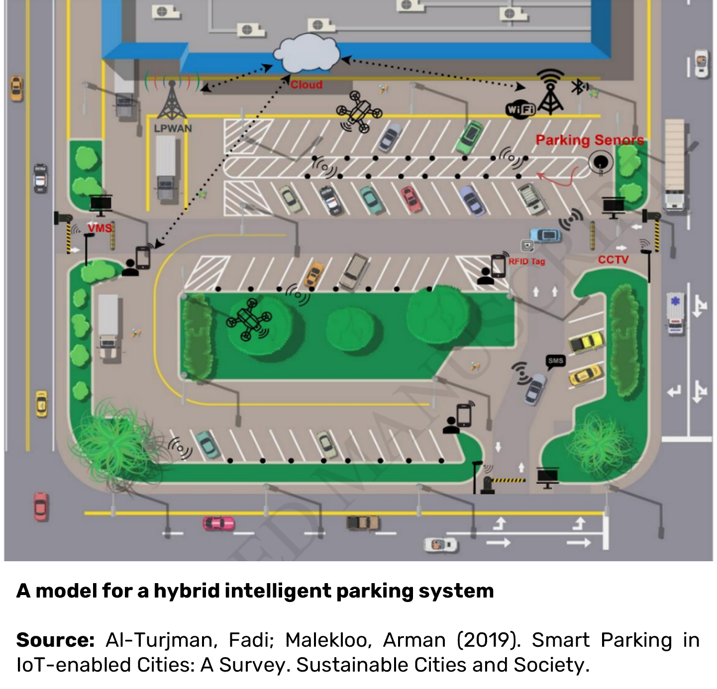
How to Manage Parking


How to Manage Parking
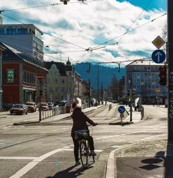
How public urban space is best used and distributed is a topic of intense debate, especially against the backdrop of the climate crisis. Rising temperatures require more urban green space. Additionally, rapidly increasing rents and the Corona pandemic clearly show how precious (public) space is. This is in striking contrast to the ever-growing number of ever larger cars, which take up yet more public space while in motion and when parked - all without cost to car owners (depending on the size of the vehicles).
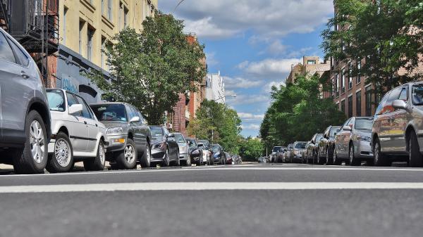
At the same time, traffic caused by parking contributes significantly to air and noise pollution in communities. Parking violators endanger the safety of other road users and make it difficult for police or emergency services to get through certain areas. For these reasons, environmental movements such as Critical Mass and Fridays for Future are not alone in calling for intelligent control of car parking within municipalities and the development and implementation of alternative transportation policies.


In the Open Urban Data Community, municipal actors can network with each other, engage in conversation, and work together on implementations. Benefit from the cost-free formats for the community!
You would like to be a part of the community?
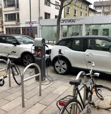
Mainz - Improve e-parking

Shared Mobility Dashboard for Cologne
Freiburg - Live traffic visualization