
The Challenge
Regulating temperature in the city


Regulating temperature in the city
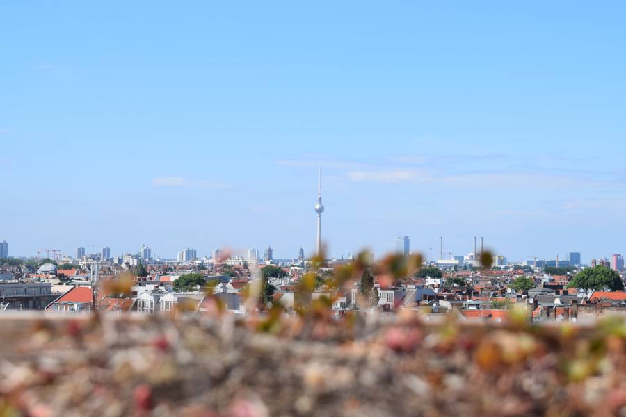
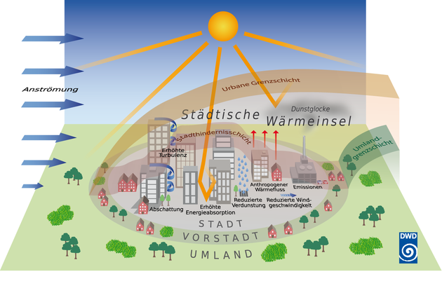
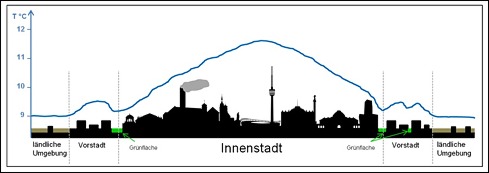
Climate forecasts suggest that there will be more heat summers in the future. This intensifies an already existing problem: the development of heat islands, also called urban heat islands. Due to the high level of sealing, building development and heat release from traffic and industry, the difference between the temperature within the city and the surrounding area can be as much as 10 degrees Celsius. Not only are daytime temperatures higher in the city, but nighttime cooling is lower, which also causes higher air pollution. The consequences are harmful to people and the environment: higher temperatures affect the physical and mental health of the population, damage inner-city vegetation and and lead to construction and technical measures (such as air conditioning), which in turn cause increased greenhouse gas emissions.
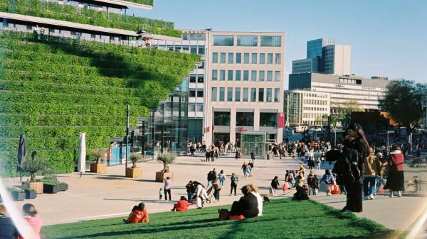
Green house facades can help cool down the city.
To avoid these consequences, it is important that municipalities first identify and understand their heat islands. Various data can be used to do this, including weather data, satellite imagery, and tree cover data. Based on this knowledge, various planning and building measures can be taken.


In the Open Urban Data Community, municipal actors can network with each other, engage in conversation, and work together on implementations. Benefit from the cost-free formats for the community!
You would like to be a part of the community?


Mönchengladbach - Monitoring e-parking
Freiburg - Live traffic visualization
Mainz - Improve e-parking

ASCEND research project clean energy districts